
(images from http://www.lydiaheard.com/)
The following image from Google Earth shows how successful the space has been. As you can see its full of people.

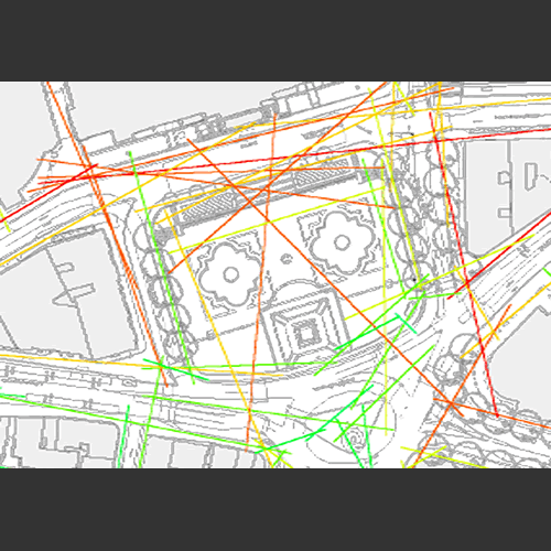
Axial maps can show the impact of:
1. The street network on urban movement patterns and flows (Hillier and Iida, 2005),and the evolution of the local centres and sub-centres. (Hillier, 2006, 1999)
2. Spatial design on feelings of security and insecurity (Hillier 2004)
3. Urban Spatial segregation and social disadvantage (Vaughan et al 2005)
4. Spatial layouts on organisational cultures (Penn, 1999)
5. Office redesign on productivity (Bafna, 2005)
6. Museum layout on use and satisfaction (Stavroulaki and Peponis 2002, Hillier and Tzorzti 2007)
(Taken from http://www.udeworld.com/)
No comments:
Post a Comment